
West Virginia Travel Routes Explained: I-64 and Corridor H
18/08/2025
West Virginia’s highways connect mountains, valleys, and communities across the state. Two of the most important routes for both local drivers and travelers are Interstate 64 and Corridor H (US-48). Both roads serve very different purposes, but each plays a major role in West Virginia’s transportation system.
In this post, we’ll break down what makes these highways important, what drivers can expect, and how WVCams can help you keep track of them.
Interstate 64
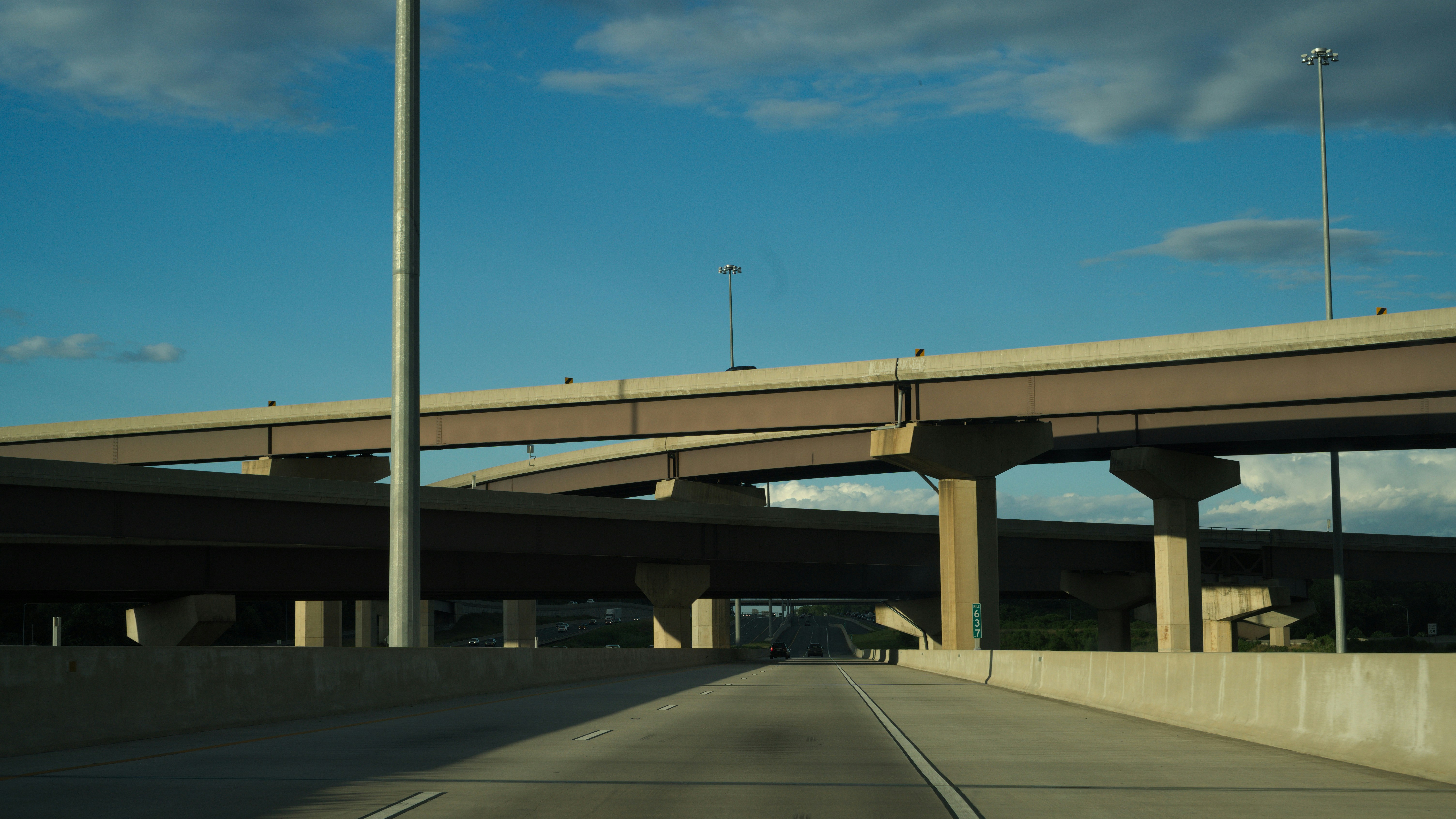
I-64 runs east to west across southern West Virginia, passing through Huntington, Charleston, Beckley, and Lewisburg. It’s one of the state’s busiest routes and serves as a primary corridor for both commuters and commercial traffic.
- Charleston to Huntington: This stretch carries heavy daily traffic, especially around Charleston. Construction projects and rush-hour backups are common.
- Beckley area: I-64 merges with I-77 along the West Virginia Turnpike, where tolls apply. This section is a frequent spot for congestion during holiday weekends and summer travel.
- Lewisburg eastward: Heading toward the Virginia line, traffic thins out, but weather can be unpredictable, especially in the winter months.
Corridor H (US-48)
Corridor H is one of West Virginia’s most ambitious highway projects. Still under construction in some sections, it stretches across the northern part of the state, eventually connecting Interstate 79 at Weston to Interstate 81 in Virginia.
- Completed sections: Large portions through Hardy, Grant, and Tucker Counties are open, making travel in the eastern panhandle faster and safer.
- Scenic drive: Unlike I-64, Corridor H winds through the Allegheny Highlands, offering sweeping views and access to outdoor recreation areas.
- Ongoing work: The highway is still being built in stretches, and updates are posted regularly by the WVDOH.
Using WVCams Along These Routes
Both I-64 and Corridor H are covered by traffic cameras that give drivers real-time visuals of road conditions. If you’re planning a trip:
- Check I-64 cameras in Charleston, Beckley, and Huntington to monitor traffic or weather.
- For Corridor H, cameras near Moorefield, Davis, and Elkins provide updates on mountain travel conditions.
With one click, you can confirm whether roads are clear, wet, or slowed by construction.
I-64 and Corridor H highlight the diversity of West Virginia’s highways — one a heavily traveled interstate, the other a scenic corridor still taking shape. By using WVCams to check conditions before you go, you’ll have more confidence on the road no matter which route you take.